In 2010-2011 we assisted the City of Foster City with the existing conditions analysis for the Land Use & Circulation Element of its General Plan. This involved lots of photos.
Foster City is a master-planned “new town” founded in the 1960s on engineered landfill in the marshes of the San Francisco Bay. The city was named after T. Jack Foster, a real estate magnate who owned much of the land comprising the city and who was instrumental in its initial design.
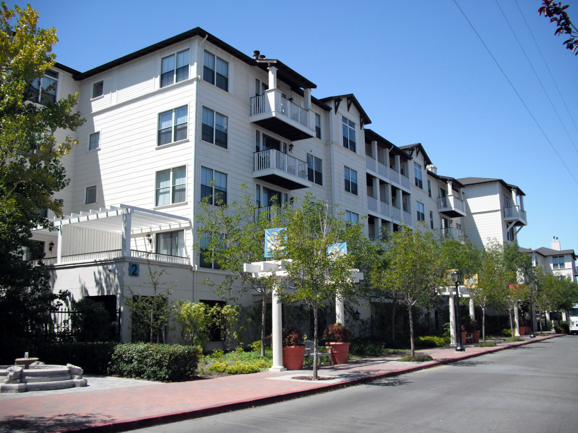
The neighborhoods in Foster City are numbered: Neighborhoods 1 through 9, as well as C, L, PT, TC and VP. The street names area also named around themes such as fish, ports and famous explorers. Neighborhoods 1 and 2 were covered in a previous entry; this entry covers Neighborhoods 3 & 4.
Neighborhood 3 was built concurrently with Neighborhood 2. The homes were built in the late 1960s and the condominiums and apartments in later years. Streets in Neighborhood 3 are named after fish, such as Tarpon and Marlin.There are a number of parks including Marlin Park featuring a beach along the lagoon shore.
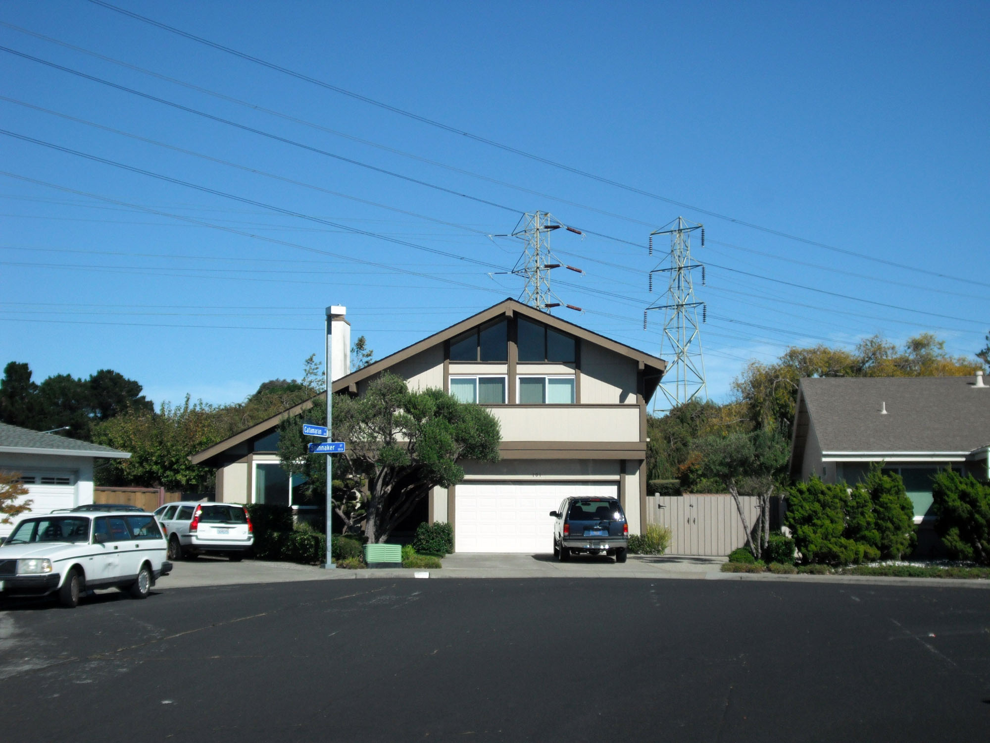
Neighborhood 4 was the last Foster City subdivision to be built “in order”; Neighborhoods 9 and 8 came next rather than Neighborhood 5. Streets are named after ships, or parts of ships, such as Mainsail Court and Compass Street. In a departure from the curved, interconnected streets in the earlier Foster City neighborhoods, streets in Neighborhood 4 are rectilinear and organized into a distinct pattern of courts (cul-de-scas). A neighborhood park joins up the ends of the courts. The Marlin Cove Shopping Center, initially built concurrently with the homes, was redeveloped in the 2000s as a mixed-use center.