
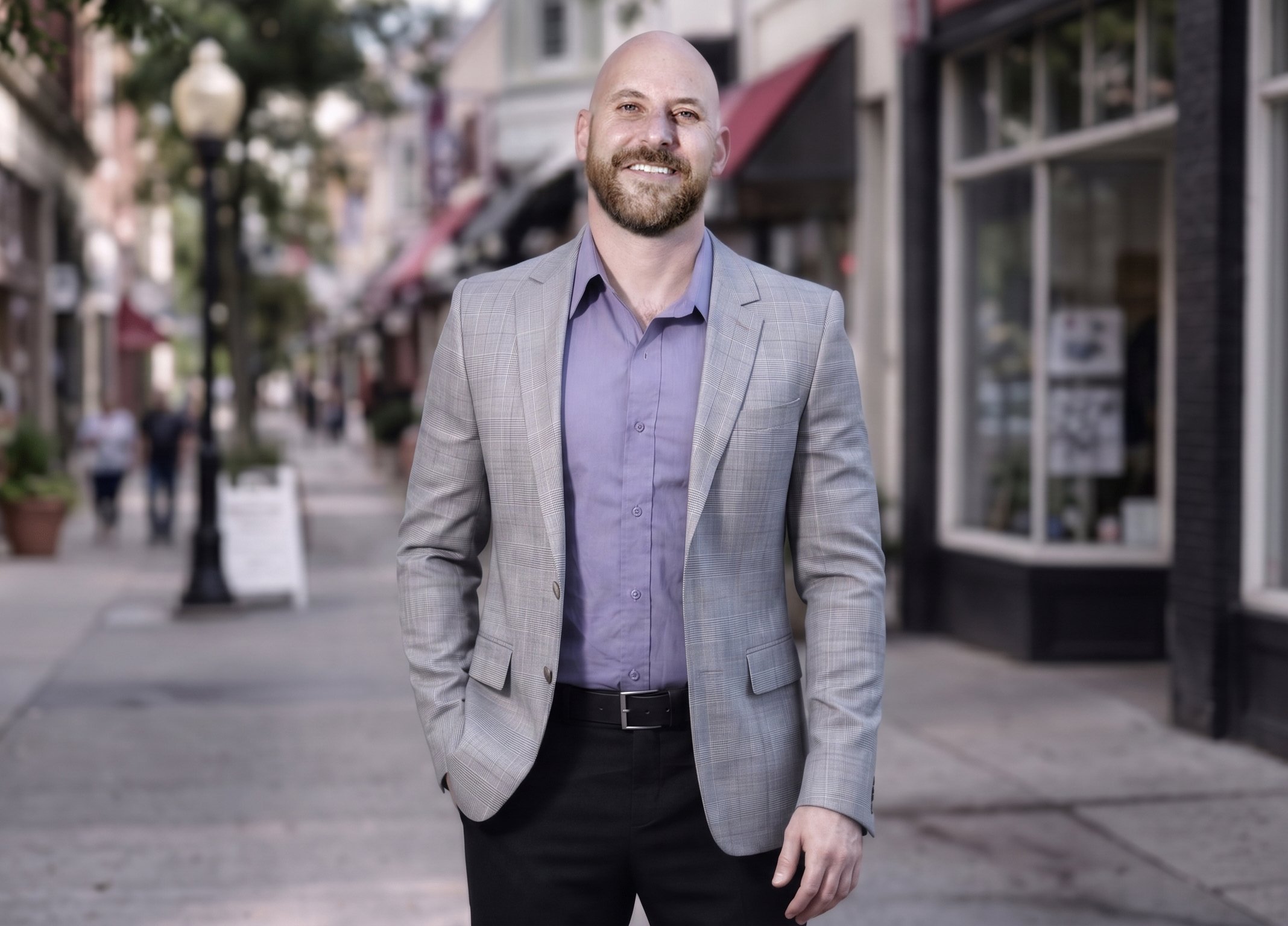
Hello, I’m Kevin
I've spent more than 20 years helping clients successfully buy and sell homes throughout San Francisco and the Peninsula.
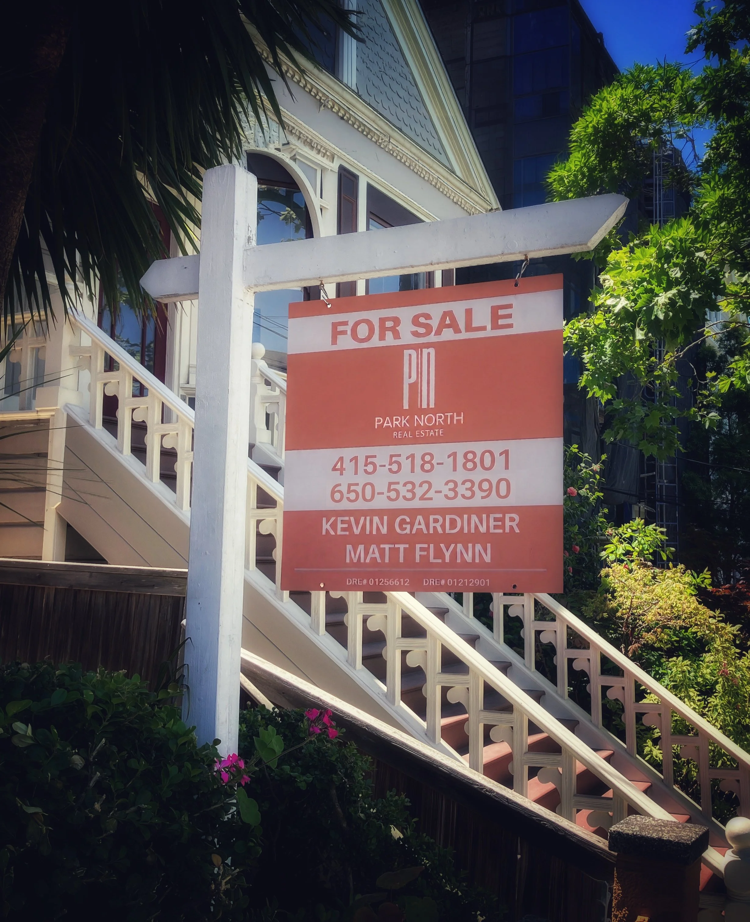
I’m part of the Flynn & Gardiner Team at Park North Real Estate. Let us support you through the buying or selling of your next property.

Articles
For those who want to learn more about real estate and planning in San Francisco and the Peninsula, check out my articles in the Read All About It section of my website.